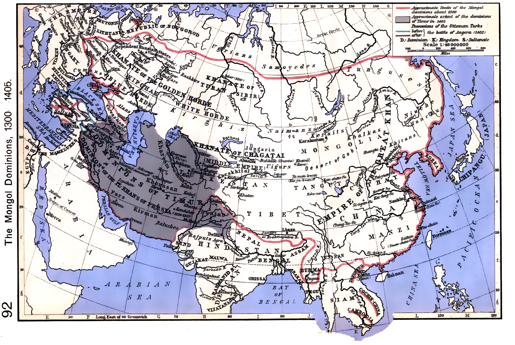
Treat each boundary as a dated claim
Maps of empires often compress different relationships into one color: directly governed provinces, tributary arrangements, military occupation, allied rulers or areas of influence. Those relationships were not interchangeable. Ask what the mapmaker means by “empire” and what evidence supports the particular boundary at the date shown.
A map with a single outline can be a clear teaching device, but its simplicity should not be mistaken for uniform administration. Look for notes about contested regions, vassalage or changing control. If the map offers no such distinctions, use it to orient a question and consult the cited text for the relationship it depicts.
Do not interpolate between snapshots
A timeline may show an empire at several selected dates. The space between those dates is not a continuous record. Borders can change through campaigns, agreements, revolts, administrative decisions and uneven local control. Connecting two snapshots with a smooth line invents a pace and path unless the sources document them.
Record the date attached to each map and identify whether it is a year, a range or an approximate moment. Ask what happened between the selected points and whether a source covers it. Where evidence is sparse, show discrete snapshots and label the interval as unknown rather than implying a steady advance or retreat.
Read the edge alongside the center
Expansion and contraction describe area, not the experience of people within it. A changing border does not by itself explain taxation, migration, local alliances, resistance or the survival of institutions. Nor does the end of a political structure prove that every practice vanished at once.
Use the War by War archive’s empire and conquest dossiers as an entry to the cited sources, not as a complete spatial history. The Mongol Conquests dossier can help orient a reader to a wide subject; a particular campaign, polity or community still needs its own evidence. Pair a boundary map with dated accounts and ask whose perspective the border makes visible.