THE READER’S FIELD KIT · 12 GUIDES
Read beyond
the battlefield.
Practical ways to question the numbers, read a map and follow the evidence behind a conflict.
Start with a map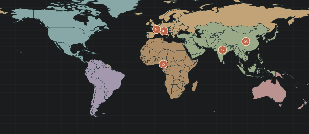
A TOOL FOR THE NEXT READ
12 ways to read more carefully
Showing 12 guides
 01 / Reading the record
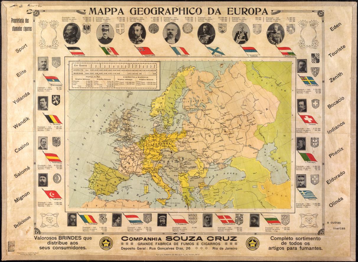
How to Read a War: A Newcomer’s Guide to Conflict Literacy
A clear first pass through claims, context and the limits of a conflict record.
Pimenta de Mello, 1914; National Library of Brazil / World Digital LibraryRead this guide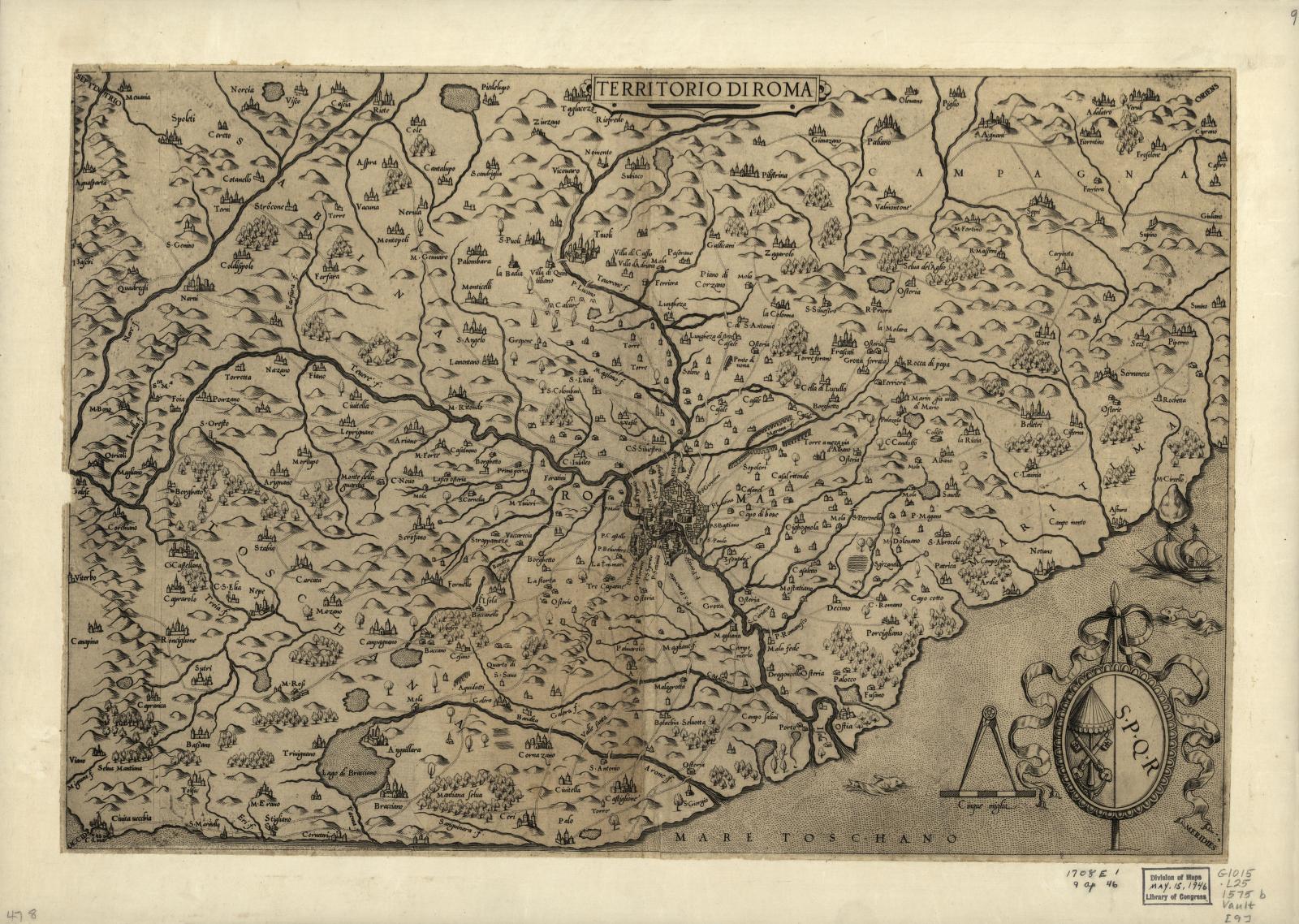 02 / Maps & power
Did Rome Fall, or Did It Just Change the Subject?
A debate map for reading a long transition without forcing one simple answer.
Antoine Lafréry map collection, circa 1575 · Library of Congress Geography and Map DivisionRead this guide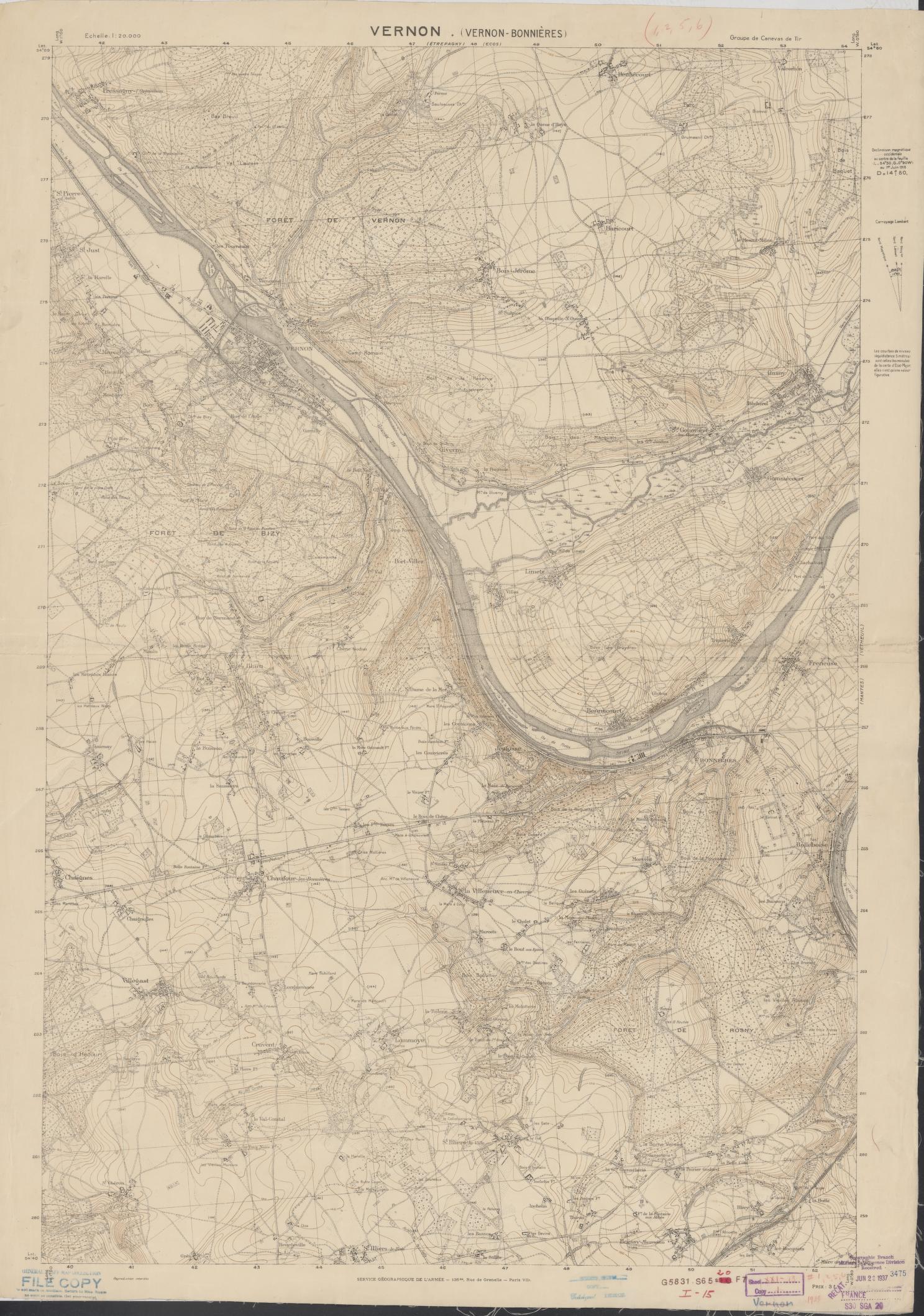 03 / Maps & power
How to Read a War Map Without Letting It Tell the Whole Story
A map can show a boundary, a claim, a reported line or a changing front. First ask which one you are looking at.
Service géographique de l’Armée, 1915–1925 · Library of Congress Geography and Map DivisionRead this guide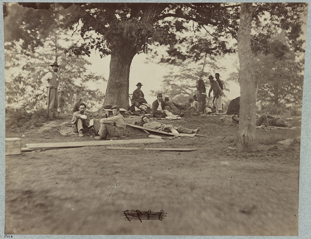 04 / Reading the record
How to Read Casualty Claims When the Number Is Unsettled
A death toll is a finding with boundaries: who is counted, by whom, through what method and as of when.
Library of Congress · Photographed 1861–1865; printed 1880–1889Read this guide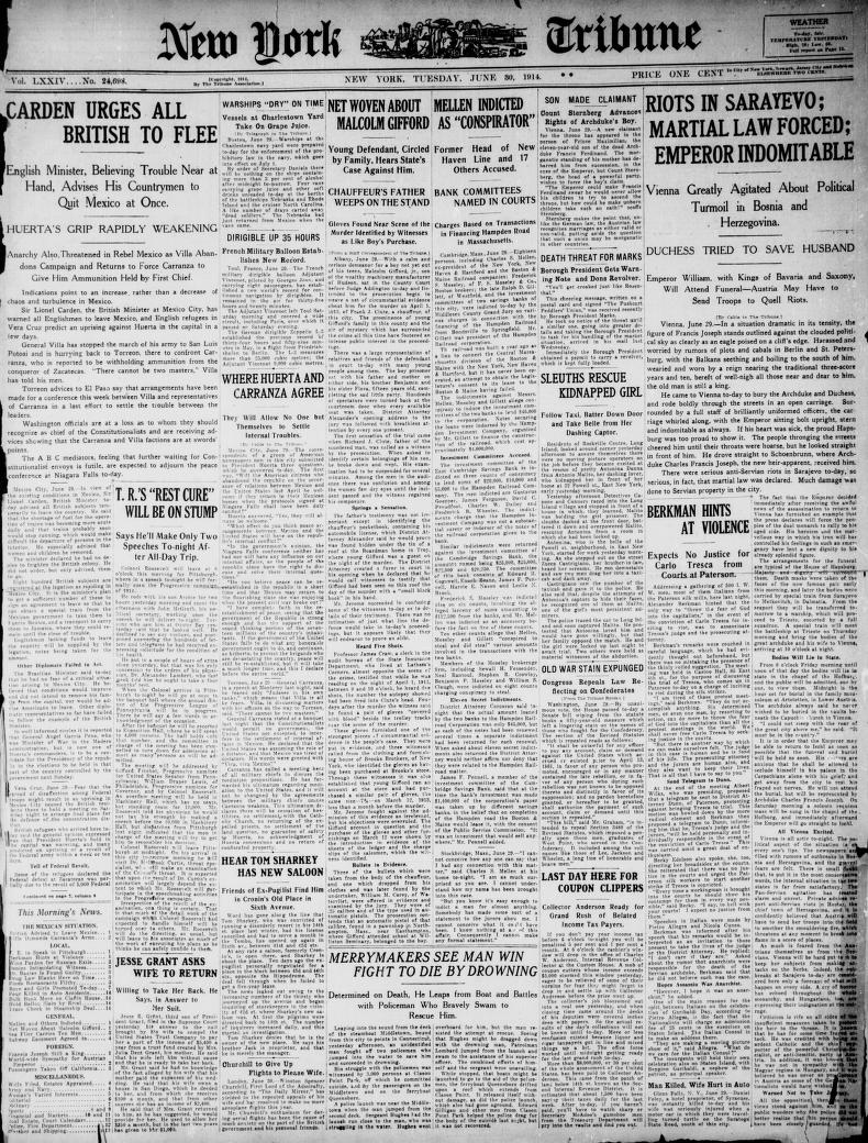 05 / Following the present
How to Follow a Current Conflict Without Losing the Source Trail
A headline has a publisher, a publication time and a reporting path. Keep those separate from the time you encountered it.
New-York Tribune, June 30, 1914 · Library of Congress Chronicling AmericaRead this guide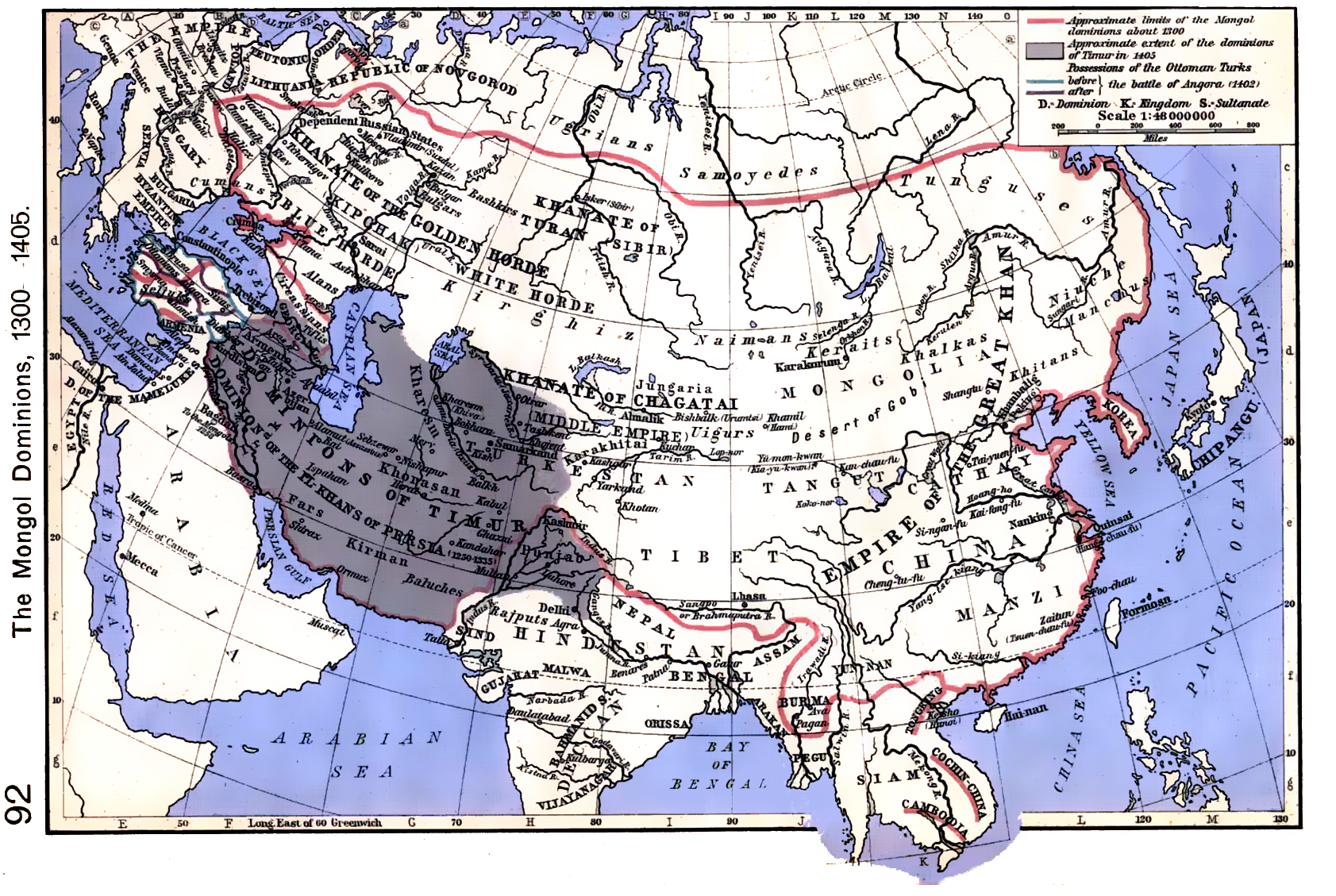 06 / Maps & power
How to Read an Empire’s Expansion and Contraction on a Timeline
A changing footprint is a useful overview. It cannot stand in for the varied relationships behind each border.
William R. Shepherd, Historical Atlas, 1923 · via Wikimedia CommonsRead this guide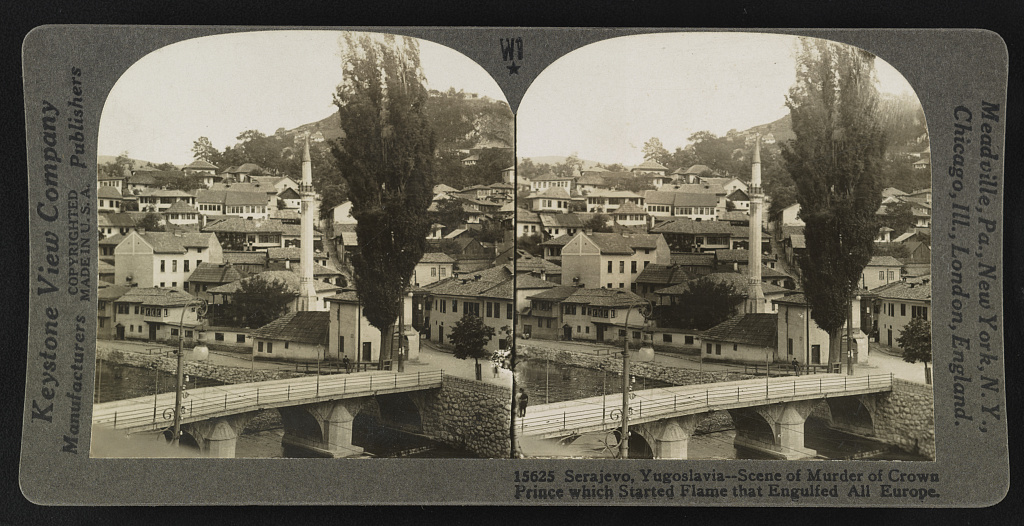 07 / Reading the record
How to Separate a War’s Trigger from Its Causes
The event immediately before fighting may explain why a crisis broke open. It rarely explains the whole conflict by itself.
Keystone View Company, published 1923 · Library of Congress Prints and Photographs DivisionRead this guide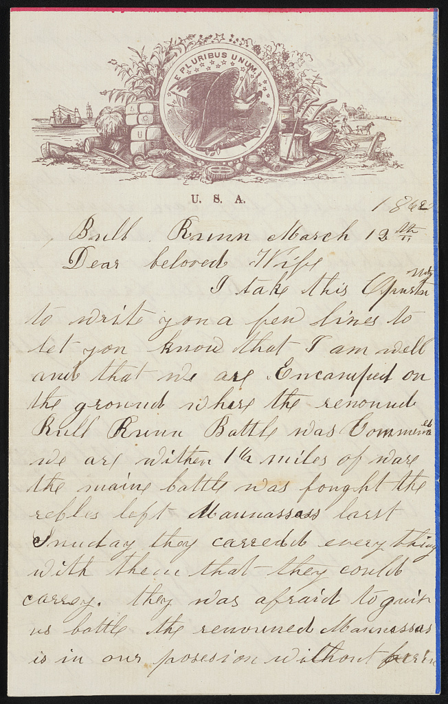 08 / Reading the record
How to Check a Source Before You Repeat Its Claim
Primary and secondary sources answer different questions. Neither label removes the need to inspect authorship, context and evidence.
George L. Hersum, 1862 · Library of Congress Prints and Photographs DivisionRead this guide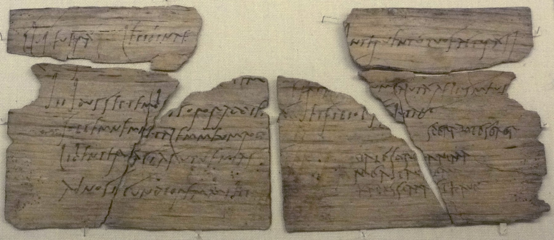 09 / Reading the record
The Roman Frontier in a Birthday Invitation
A wooden letter from Vindolanda lets us hear a household at the edge of empire, while its silences tell us whose lives the archive preserves.
Tablet 291, AD 97–105 (RIB) · British Museum; photo by Fæ, CC BY-SA 3.0Read this guide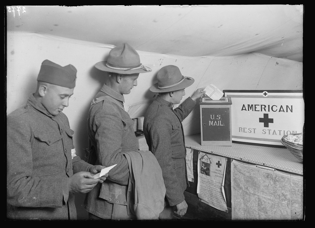 10 / Reading the record
A World War I Letter Has Two Fronts
William James Bean’s letters from France connect a soldier’s journey with the people waiting at home, and show why correspondence needs context.
Lewis Wickes Hine, photographer · American National Red Cross photograph collection, Library of C…Read this guide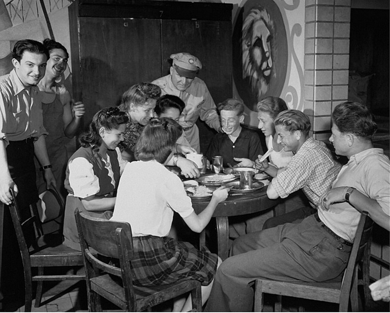 11 / Reading the record
After Victory, a Displaced Person’s Address
A photograph of Sara Neumann leaving a displaced persons camp makes the postwar journey visible without letting a destination label become an arrival story.
Photographer unidentified · U.S. federal government work via USHMM / Wikimedia Commons · 7 July 1946Read this guide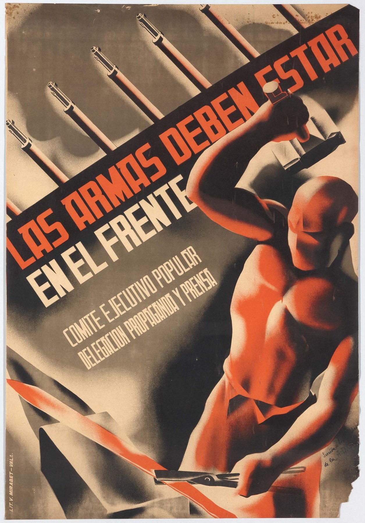 12 / Maps & power
A Spanish Civil War Poster Makes a Demand
A 1937 poster turns weapons into a public argument. Its typography, sponsor and archive record reveal what the image asks of its audience.
Alianza de Intelectuales visual arts section, 1937 · Museo Reina SofíaRead this guideNo guides match that search. Try another word or topic.
THE ARCHIVE’S PROMISE
Claims stay attached to their evidence.
These guides offer reading methods, not expertise claims. Each example points back to an existing dossier or archive route; follow its sources to assess the underlying record.
Explore the atlas →Open the News Desk →