Name the line before you read it
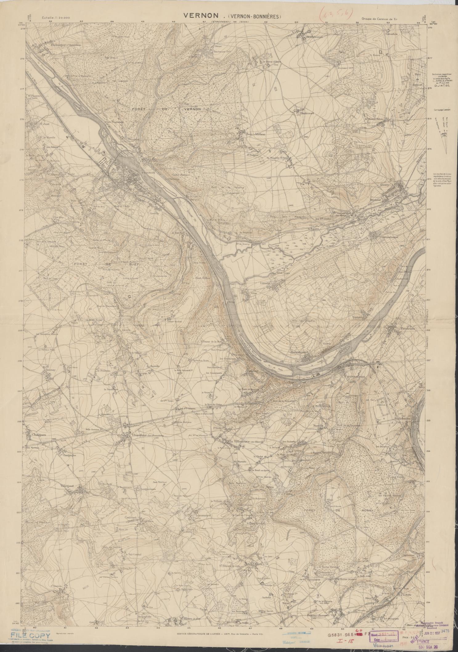
A line on a map looks decisive. Its meaning may not be. A national boundary, an administrative border, a military front, a claimed area and a route of movement describe different things. Before interpreting color or shape, find the map key, title, date and the organization that made it. If those are absent, treat the line as an editorial choice whose basis still needs to be found.
Then ask what the map can establish. A locator map can place a conflict in a region; it does not verify control of a town. A dated front line records an assessment at a moment; it is not a permanent boundary. A shaded claim may show what a party asserts, rather than what an independent observer has confirmed. These distinctions are especially important when a map is reposted without its original caption.
Read scale, time and uncertainty together
Scale determines what can be seen. A world map may orient you while hiding local variation. A close view may make a small movement look decisive. Date matters just as much: compare maps only when their dates and definitions are visible, and avoid joining snapshots into a smooth advance unless the evidence supports that path.
Look for explicit uncertainty: dashed lines, shaded zones, source notes or words such as “reported” and “approximate.” A neat graphic can conceal incomplete access, competing claims or stale information. If the map does not explain its evidence, follow the source link and look for the underlying reporting. Where that trail ends, keep the uncertainty visible in your own description.
Use an atlas as a question, not a verdict
The default War by War atlas pairs conflict records with modern reference geography. That view is useful for orientation, but it does not reconstruct historical control. The separate Borders mode uses dated historical snapshots: check the selected year and source before interpreting those boundaries. A map attached to the Gothic Wars and the Fall of Western Rome, for example, helps locate the dossier’s subject; the dossier and its cited sources carry the historical argument.
Try this sequence: identify the map type; note its date and maker; read the legend; find the source for each disputed line; then compare the mapped claim with a written account. If those steps leave a gap, describe the gap rather than filling it with a confident-looking line. Maps are strongest when their limits travel with them.